Period: August 2020
Client: Belgian Roads and Traffic Agency
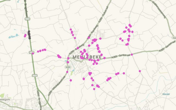
It is important to check regularly the open data supplied by the government. This is especially with projects like Mobility Data in the offing. In 2020 we carried out an analysis of the traffic signs related to the speed limit for the Belgian roads and traffic agency, the AWB. With the help of the Waze community, we checked speed signs using data from Waze, Google Street View and local knowledge of the community’s members.
If the information did not match up, then an explanation was given about what was wrong with it and what needed to be changed.
A total of 1,560 signs were checked and their status and any modifications will be included in the AWV’s systems in the near future. This is also a good way of prompting local road authorities to check for any gaps in their data.