Datum: Sinds 2010
Locatie: Benelux
Our Wegstatus.nl platform arose from the Waze Benelux community. Since this partnership has always been very good, we are selflessly committed to supporting them in entering roadworks into the Waze app. TripService manages a link between Waze and the Dutch National Data Bank for Traffic Data (NDW) and a tool that lets Waze volunteers validate SPIN and Melvin notifications.
More recently, the community has undergone further professionalisation, culminating in the Waze Volunteers Foundation of the Netherlands. As a result, the first business projects have now also been rolled out in cooperation with the foundation. This presents a huge number of fresh opportunities both for informing road users and as a tool for road authorities.
Dennis Kao, Chairman of the Waze Volunteers Foundation of the Netherlands:
“I started editing maps in Waze because I’d noticed some local improvements that could be included in Waze’s maps. As a Waze editor, you are in fact helping all Waze users (not only the people who use the app but also the other map editors). The members of the community are committed to working for and with one another to provide useful and, above all, accurate information for effective navigation. The amending of streets, intersections and speeds, soon led to the inclusion of roadworks, resulting in the emergence of extremely valuable map information. Initially, we would look up information on roadworks or it would reach our mailboxes by means of various newsletters.
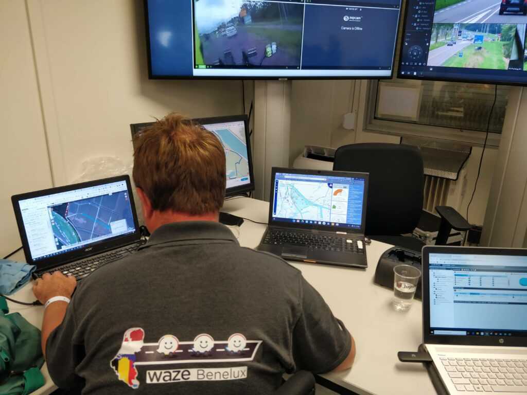
Now we use the road status website Wegstatus.nl. This is continuously updated by a range of data sources such as SPIN, MELVIN and NDW, and there are even links to Rijkswaterstaat’s FLISTER. For example, information on scheduled road closures due to road works is sent to Wegstatus.nl, which means we can then mark the relevant roads/streets as closed to traffic. This lets motorists safely avoid any roadworks.
FLISTER alerts provide us with up-to-date information on hazardous or unusual situations along, say, motorways. This allows us to mark lanes or roads as closed on Wegstatus.nl and prevents any unnecessary traffic from joining the road because Waze offers an alternative route in advance. Once the incident has been resolved, FLISTER sends an update to Wegstatus and the road closure is automatically removed.
In other words, our community is in a position to provide an efficient and effective follow-up to situations on the roads by including scheduled roadworks in advance or by being able to include relevant road information on our map. This allows the whole community to have access to the most up-to-date and useful information at all times.”