Date: April 2020
Where: Gooi and Vechtstreek
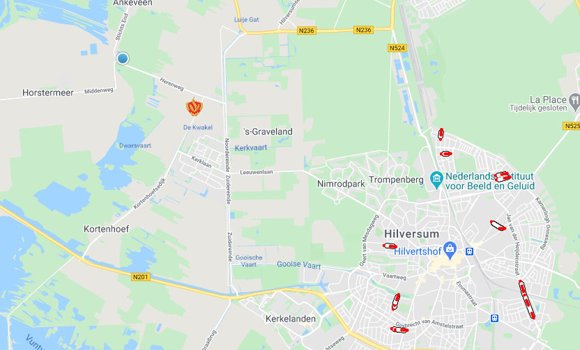
We have developed an emergency services dashboard for the Gooi and Vechtstreek Safety Region. For instance, the fire brigade uses it to determine the route during call-outs.
The fire brigade works primarily with lots of volunteers. These volunteers are normally at their day jobs rather than at the fire station. In the event of a major call-out, all the volunteers have to make their way to the fire station immediately. Within minutes, they can arrive, get changed, jump into the fire engine and be on their way to the scene.
At this point, there may occasionally be problems calculating the route. For example, the navigation system may not yet have found a GPS connection and the exact route is frequently unknown. Examples of this are knowing whether to exit the fire station to the left or the right, or whether to go through a city centre or around it.
Our aim is for our dashboard to answer these types of questions. Not only do we show the route to be taken, we also show precisely why this route is the right one. We do this by displaying information about traffic jams, incidents and road closures.
To calculate the route, we work with Waze and factor in details such as the following variables:
- Traffic flow;
- Roads that the fire brigade can or cannot use;
- Bus lanes and hard shoulders that the fire brigade can use to drive past congestion.
By linking the control room, the route is automatically shown on the screen. This information keeps the driver fully informed while on the road.
As well as providing route information, we can also use the dashboard to display other operational information. The dashboard has a modular design, which means new components can easily be added.